Portrait des activités traditionnelles
Méthodologie
Méthode suivie pour la cartographie des cartes sur les activités traditionnelles
Portrait des activités traditionnelles
La seconde section de l’atlas présente des cartes créées principalement à partir de données provenant de savoirs écologiques documentés par l’AGHAMW auprès de participants de ses trois communautés membres à travers diverses études. La documentation des savoirs traditionnels autochtones est un outil essentiel à la gestion collaborative et durable des ressources naturelles, qui contribue à apporter davantage de clarté et de profondeur sur les connaissances des écosystèmes d’un territoire donné. Ces connaissances sont dynamiques et évoluent dans le temps selon les changements socio-économiques et environnementaux. Le savoir écologique autochtone, parfois désigné comme connaissances écologiques ou savoir traditionnel, est défini ici comme un ensemble de connaissances détenues par un groupe sur leur paysage culturel, physique et biologique. Ces connaissances sont généralement obtenues par des observations d’un territoire ou d’une espèce, transmises à travers la tradition orale d’une génération à l’autre, ou partagées entre utilisateurs d’une ressource (Menzies et Butler, 2006). Le savoir écologique est à la fois science et philosophie, et plus explicitement défini par Berkes (1999) comme étant « un ensemble de connaissances, de pratiques et de croyances qui évoluent selon des processus adaptatifs transmis de génération en génération par les pratiques culturelles, et qui concerne les relations des êtres vivants (dont les humains) entre eux et avec leur environnement. »
Méthode
La récolte des données et la cartographie des activités traditionnelles sur les sites et usages mi’gmaqs et Wolastoqey du Saint-Laurent marin des communautés de Gesgapegiag, Gespeg et Wahsipekuk (Viger)
Les cartes présentées dans la section du portrait des activités traditionnelles de l’atlas ont été produites à partir de différentes sources de données. Tout d’abord, une partie des données provient d’une enquête réalisée au cours de l’hiver 2019 auprès des membres utilisateurs du territoire marin des trois communautés. Les informations ont été recueillies auprès des membres des communautés par le biais d’une enquête qui visait les savoirs traditionnels et l’utilisation passée et présente des milieux marins et côtiers sur le territoire. Le questionnaire élaboré dans le cadre de cette enquête s’articulait autour de 4 grands thèmes soit a) la pêche récréative, b) la cueillette, c) la chasse et d) les sites et usages humains. Un formulaire de consentement a également été réalisé préalablement à la convocation des membres.
Une sélection des membres utilisateurs du territoire a été faite par l'entremise des conseils de bande, directeurs et coordonnateurs des pêches des trois communautés et employés de l’AGHAMW. Au total, 32 membres ayant répondu à la convocation furent disponibles pour participer à ces enquêtes, soit 15 membres de la Nation Micmac de Gespeg, 14 membres des Micmacs of Gesgapegiag et 3 membres de la Première Nation Wolastoqiyik Wahsipekuk (Malécites de Viger). Pour la Nation Micmac de Gespeg et les Micmacs of Gesgapegiag, les entrevues ont été réalisées en groupe de 2 à 5 participants par séance, tandis que les membres de la Première Nation Wolastoqiyik Wahsipekuk (Malécites de Viger) ont été interrogés de façon exclusive.
Les enquêtes se sont déroulées sous la forme d’entrevue semi-dirigée d’une durée moyenne de 2 heures. Avant de débuter celle-ci, les participants ont lu et signé le formulaire de consentement. Chacune des séances a été enregistrée, sauf pour les cas où les participants n'ont pas donné leur consentement. Des cartes papier des territoires visées étaient disponibles pour consultation lors des entrevues, de même que des affiches illustrant les photos et les noms des espèces ciblées, afin de bien distinguer celles-ci.
Il est important de noter que les résultats de cette étude ne représentent qu’un aperçu du savoir détenu par les membres des Premières Nations de Gesgapegiag, de Gespeg et de Wahsipekuk (Viger) et ne peuvent être considérés comme une documentation exhaustive du savoir de ces nations.
À la suite des entrevues réalisées, les données ont été compilées dans une géodatabase et les sites et usages ont été numérisés dans ArcGIS 10.6 (ESRI). Les sites et usages ont été cartographiés de façon à représenter des zones/secteurs utilisés, plutôt des sites ponctuels. Les cartes ont été produites, afin de regrouper et illustrer les espèces, sites et usages selon les mêmes thématiques que celles présentées dans le questionnaire, soit a) la pêche récréative, b) la cueillette, c) la chasse et d) les sites et usages humains.
La récolte des données et la cartographie du savoir écologique sur des espèces en périls
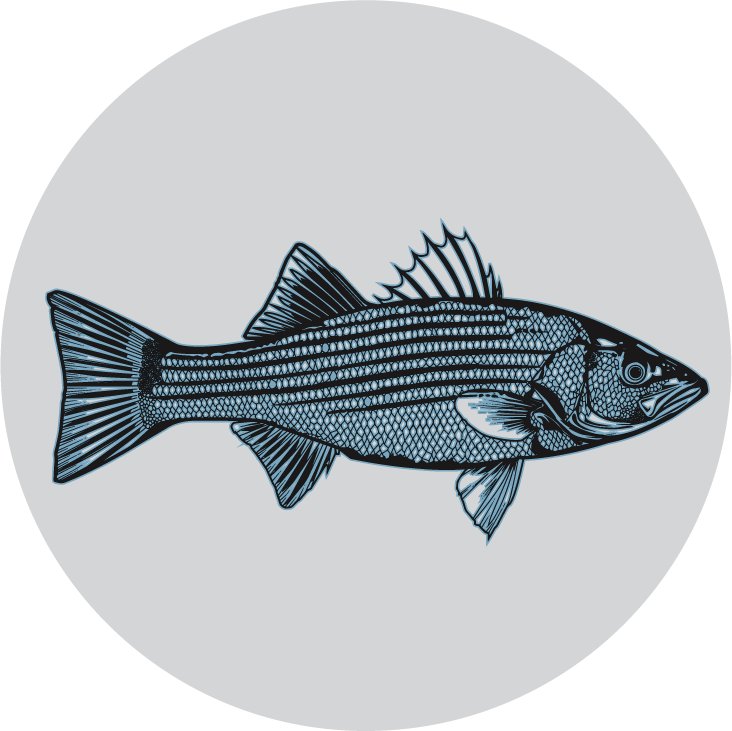
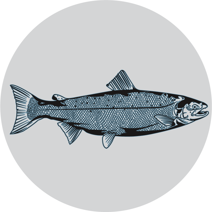
Les cartes présentées sous les chapitres du bar rayé, de la pêche récréative et du Banc des Américains illustrent des données de savoir écologique concernant les espèces en péril suivantes: le saumon atlantique; l’anguille d’Amérique; la plie canadienne, l’esturgeon noir et le sébaste; la morue franche; et le bar rayé. Ces données proviennent d’une enquête effectuée en 2014 auprès de 29 membres des trois communautés. Les résultats de cette enquête sont présentés dans un rapport intitulé : « Documentation des connaissances écologiques mi’gmaques et Wolastoqey sur les espèces en péril du Saint-Laurent marin » (Jerome et al., 2016). Dans le cadre de cette étude, les auteurs se sont penchés sur les lacunes en matière de connaissances pour chacune des 14 espèces en péril visées par le projet, et ils ont ensuite élaboré un questionnaire de 16 questions par espèce. Une sélection des participants par l'entremise des directeurs et coordonnateurs des pêches des trois communautés a été faite, et des entrevues d’une moyenne de 30 minutes ont été menées auprès des 29 participants.
Chacune des entrevues a été filmée et enregistrée, sauf pour les cas où les participants n'ont pas donné leur consentement. Des cartes illustrant les bassins versants de chacune des communautés ainsi qu’une carte globale de l’estuaire et du golfe du Saint-Laurent ont été présentées aux participants afin qu’ils puissent y inscrire leurs observations concernant chacune des espèces. Souvent ils indiquaient l’endroit où ils avaient capturé une telle espèce dans le passé ou récemment. Parfois, ils localisaient des points où une certaine espèce était observée, soit dans le passé ou le présent.
Pour les Micmacs of Gesgapegiag, 15 aînés(e)s et pêcheurs(ses) ont participé à l’étude alors que pour la Nation Micmac de Gespeg, les entrevues se sont déroulées avec dix aîné(e)s et pêcheurs (ses). Concernant la Première Nation Wolastoqiyik Wahsipekuk (Malécites de Viger), deux pêcheurs et un aîné de la nation ont participé à l’étude.
Une fois les entrevues terminées, les enregistrements audios ont été transcrits et vérifiés par l’intervieweur. Également, à l’aide du système d’information géographique ArcGIS 10.2 (logiciel ESRI), les données géographiques recueillies lors des entrevues ont été géoréférencées afin de créer des cartes pour chacune des espèces visées par le projet. Un rapport préliminaire et les cartes ont été présentés au sein de chacune des communautés lors d’ateliers de validation auxquels les participants de l’étude étaient invités.
Dans le cadre de la création du présent atlas, l’ensemble des cartes ont été retravaillées, par souci d’uniformité. Dans certains cas, les données géographiques pour certaines espèces, peu nombreuses et issues d’observations sur des échelles de temps variées, ont été combinées, dans le but de réduire le nombre de cartes.
Il est important de noter que les résultats de cette étude ne représentent qu’un aperçu du savoir détenu par les membres des Premières Nations de Gesgapegiag, de Gespeg et de Wahsipekuk (Viger) et ne peuvent être considérés comme une documentation exhaustive du savoir de ces nations.
Les cartes illustrant le savoir écologique de l’anguille d’Amérique et le bar rayé, des données provenant de l’échantillonnage dans le cadre d’une étude menée par l’AGHAMW portant sur la présence/absence de bar rayé juvénile sur la côte sud gaspésienne, y ont été ajoutées. Des sites étalés le long de la côte, entre Escuminac et Forillon, ont été échantillonnés à l’aide de filets de plage (seines) entre le 25 juillet et le 30 septembre 2016, par deux équipes terrain. Lors de l’échantillonnage, les captures de poissons ont été identifiées, comptées, et dans certains cas mesurés. Comme ces données ont été géoréférencées, les sites où des bars rayés et des anguilles d’Amérique ont été capturés lors d’échantillonnage ont été inclus dans les cartes respectives pour chacune de ces deux espèces. Étant donné que l’AGHAMW possédait ces données récentes sur ces deux espèces en péril, il était pertinent de les ajouter aux données de savoir écologique pour ces espèces en péril.
La carte illustrant les rivières inventoriées par la Première Nation Wolastoqiyik Wahsipekuk (Malécites de Viger) (PNWW) complète le savoir écologique de l’anguille d’Amérique. L’information cartographiée provient d’une étude réalisée par la PNWW en 2012-2013, qui consistait à identifier les obstacles à la montaison de l’anguille d’Amérique dans les bassins versants des quatre rivières identifiées. Les données géographiques de la localisation de la passe migratoire, installée en 2016, ont également été fournies par la PNWW.
La récolte des données et la cartographie pour la pêche communautaire de subsistance
Les données portant sur la pêche communautaire de subsistance - aussi parfois référée comme étant les activités de pêche à des fins alimentaires, rituelles ou sociales – sont présentées sous le chapitre « Pêche communautaire de subsidence » de l’Atlas des activités traditionnelles. Elles ne proviennent toutefois pas d’une enquête sur le savoir écologique. Par contre, elles complètent l’information sur le saumon atlantique présentée précédemment. Pour ce qui est la Première Nation Wolastoqiyik Wahsipekuk (Malécites de Viger), les données concernant les captures de saumons pour la période de 2012 à 2016, ainsi que sur l’entente entre la nation et le Gouvernement du Québec, ont été obtenues principalement via des communications personnelles avec M. Jérôme Doucet, biologiste au ministère des Forêts, de la Faune et des Parcs (MFFP) à Rimouski. Également, de l’information concernant cette entente ainsi que les données géographiques des passes migratoires ont été fournies par Mme Amélie Larouche, chef conseillère au sein du conseil de bande de Wahsipekuk (Viger).
Pour ce qui est des données concernant la Nation Micmac de Gespeg, M. Terry Shaw, conseiller auprès du conseil de bande, a fourni les bilans de fins de saison pour la pêche individuelle et communautaire pour les saisons de 2010 à 2017, qui ont permis de réaliser les totaux des captures. Monsieur Shaw a également fourni les données géographiques des filets maillant pour certaines saisons de pêche. Dans le contexte de l’atlas, il a été convenu de cartographier les tronçons complets des rivières pêchées au lieu de points précis, car la localisation de la pêche au filet varie d’une saison à l’autre et au cours d’une même saison.
La récolte des données et la cartographie du savoir écologique sur les usages du site d’intérêt du banc des Américains (SIBA)
Les cartes du chapitre sur le Banc des Américains ont été créées à partir de l’information recueillie et documentée sur l’utilisation du secteur du banc des Américains. Afin de compléter les études scientifiques réalisées dans le cadre de la création de l’aire marine protégée du banc des Américains (située entre Percé et Gaspé), ciblé comme site protégé par le MPO, l’AGHAMW a documenté, en 2015, les connaissances autochtones mi’gmaques touchant l’utilisation traditionnelle et contemporaine de ce banc de pêche et de ses environs. Cette information qui se trouve dans le rapport « Documentation des connaissances écologiques mi’gmaques sur l’aire marine à protéger du banc des Américains» (Arsenault et al., 2016), visait à servir de guide pour les mesures de gestion de cette future aire marine protégée. Afin de recueillir ces connaissances, un questionnaire a été élaboré par l’équipe de l’AGHAMW en lien avec les quatre grands thèmes suivants: A) la fréquentation et l’utilisation du banc des Américains; B) les connaissances sur le banc des Américains; C) l’importance culturelle, spirituelle, économique et personnelle de l’aire d’étude pour les participants et; D) les recommandations des participants quant à la gestion et à la conservation de l’aire à protéger. Une sélection des participants potentiels a été effectuée par l'entremise des directeurs des pêches de Gespeg et de Gesgapegiag, des connaissances de l’équipe de l’AGHAMW, ainsi qu’avec la collaboration des trois conseils de bande.
Une série de dix entrevues semi-dirigées a été réalisée avec huit participants de Gespeg et deux participants de la communauté de Gesgapegiag. Chacune des entrevues a duré entre 20 et 60 minutes. Elles ont toutes été filmées et enregistrées sauf dans les cas où les participants n'ont pas donné leur consentement. Au début de l’entrevue, on présentait deux cartes fournies par le MPO, affichant les limites de l’aire protégée ainsi que les deux zones de gestion proposées. Les participants pouvaient alors y inscrire les secteurs qu’ils ont fréquentés. Une fois les entrevues terminées, une version papier a ensuite été envoyée aux dix participants de l’étude pour vérification. Les données ont été archivées conformément au protocole de documentation du savoir traditionnel de l’AGHAMW. Les données géographiques recueillies pendant ces entrevues ont également été mises en commun et géoréférencées pour créer une carte à l’aide du système d’information géographique ArcGIS 10.6 (logiciel ESRI). Cette carte a été retravaillée pour les besoins de l’atlas. Il est à noter que les limites du SIBA ont été définies et fournies par le MPO. Les résultats de cette étude ne représentent qu’un aperçu du savoir détenu par les membres des Premières Nations de Gesgapegiag, de Gespeg et de Wahsipekuk (Viger) et ne peuvent être considérés comme une documentation exhaustive du savoir de ces nations.